Foxtech Robot | Professional Robot, Surveying & Cleaning Solutions Provider Since 2014



SLAM100
The SLAM100 is a handheld mobile LiDAR scanner featuring a 360° rotating scan head with 270° × 360° point cloud coverage. Combined with advanced SLAM technology, it captures high-precision 3D point cloud data in environments without GPS or external lighting.
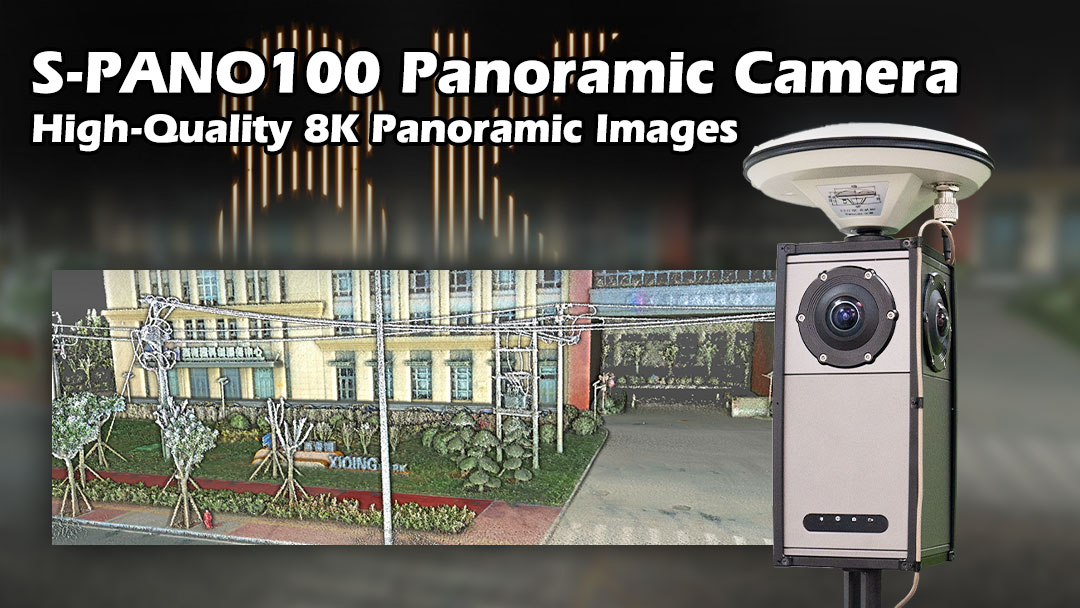
-4-mesh high-resolution panoramic camera The S-PANO100 has four star-level fisheye lenses with effective pixels up to 32 million pixels and panoramic data acquisition in a 360°×180° range. -8K, and the panoramic image S-PANO100 uses SLAM GO POST PRO for data splicing, which can generate high-quality 8K panoramic images -ms-level time synchronization S-PANO100 has ms-level time synchronization accuracy, which can obtain higher quality point cloud coloring results. -Meet the application requirements of multiple scenarios S-PANO100 is highly suitable for SALM 100 and S-PACK 100, and high-quality data acquisition can be performed either indoors or outdoors.

No Need For Outdoor Closed-loopNo Need For Outdoor Control PointsHigh-precision PositioningSimple & PortableMultiple Working Modes4G/Bluetooth Transmission
CONTACT Foxtech Robotics
No. 108-A, Floor 1, Factory Building No. 1, Hailande Industrial Park, No. 35 Caizhi Road, Xiqing Xuefu Industrial Zone, Tianjin, China.
Contact us
Leave your inquiry, we will provide you with quality products and services!
Customer service